

Water is Thicker Than Blood
by Beihua Guo
For this project, I used an outdoor projector to cast newspaper headlines, texts, historical photos, and maps onto the surfaces of ruins, monuments, landscapes, and engineering features along the 338-mile Los Angeles Aqueduct in the Eastern Sierra. Both a dialogue between the past and the present, and an artistic intervention in public spaces, my research and light projections attempt to illuminate the ignored and forgotten history of the Los Angeles Aqueduct, a more than 100-year-old and still-unfolding story filled with greed, violence, oppression, and disastrous environmental consequences.
Note from the Editor: Each of the following photographs is grouped with one or more additional photographs, which you can access the via the side arrows on either side of the images or by clicking the thumbnails below them.
The names of the 411 victims of the 1928 St. Francis Dam Disaster. Updated in 2018 (Ann Stansell). St. Francis Dam ruins, San Francisquito Canyon, 2021.
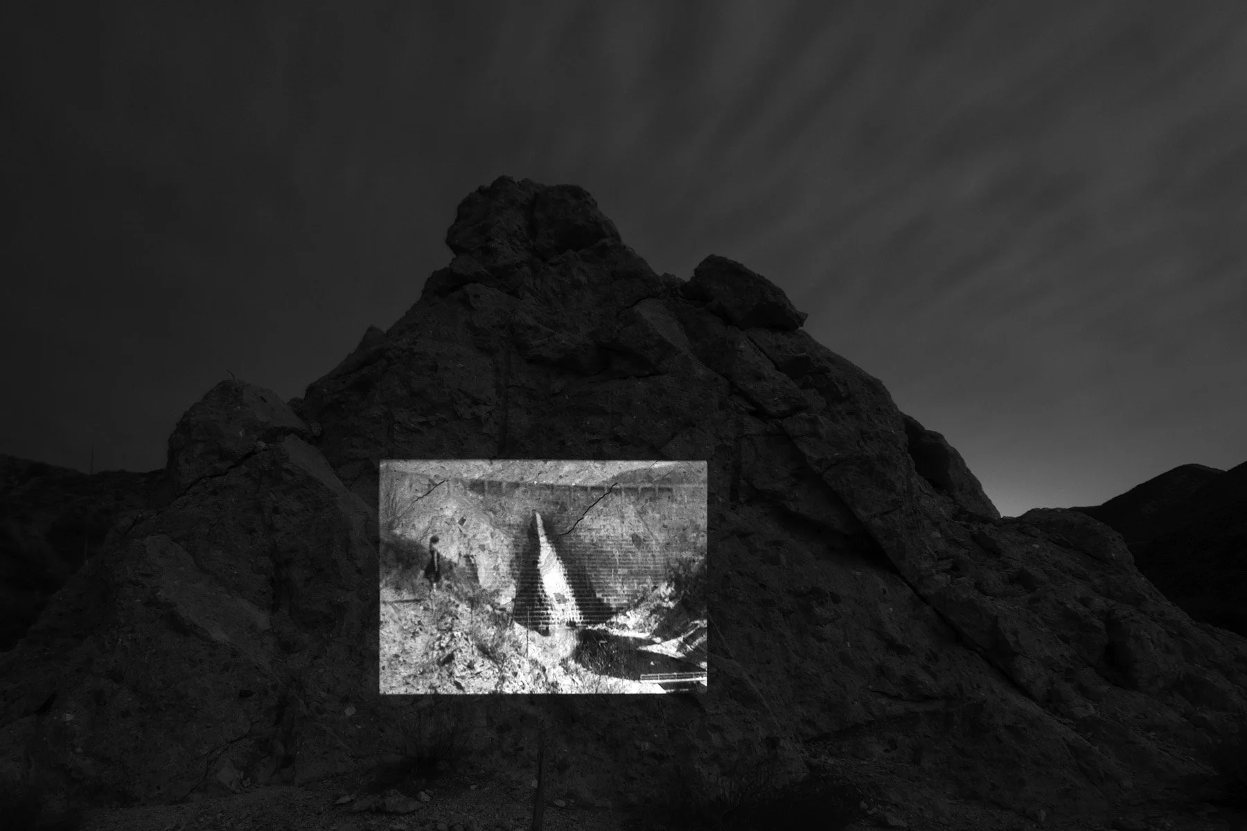
A 1928 photo of St. Francis Dam before its collapse (The Danville Bee). St. Francis Dam ruins, San Francisquito Canyon, 2021
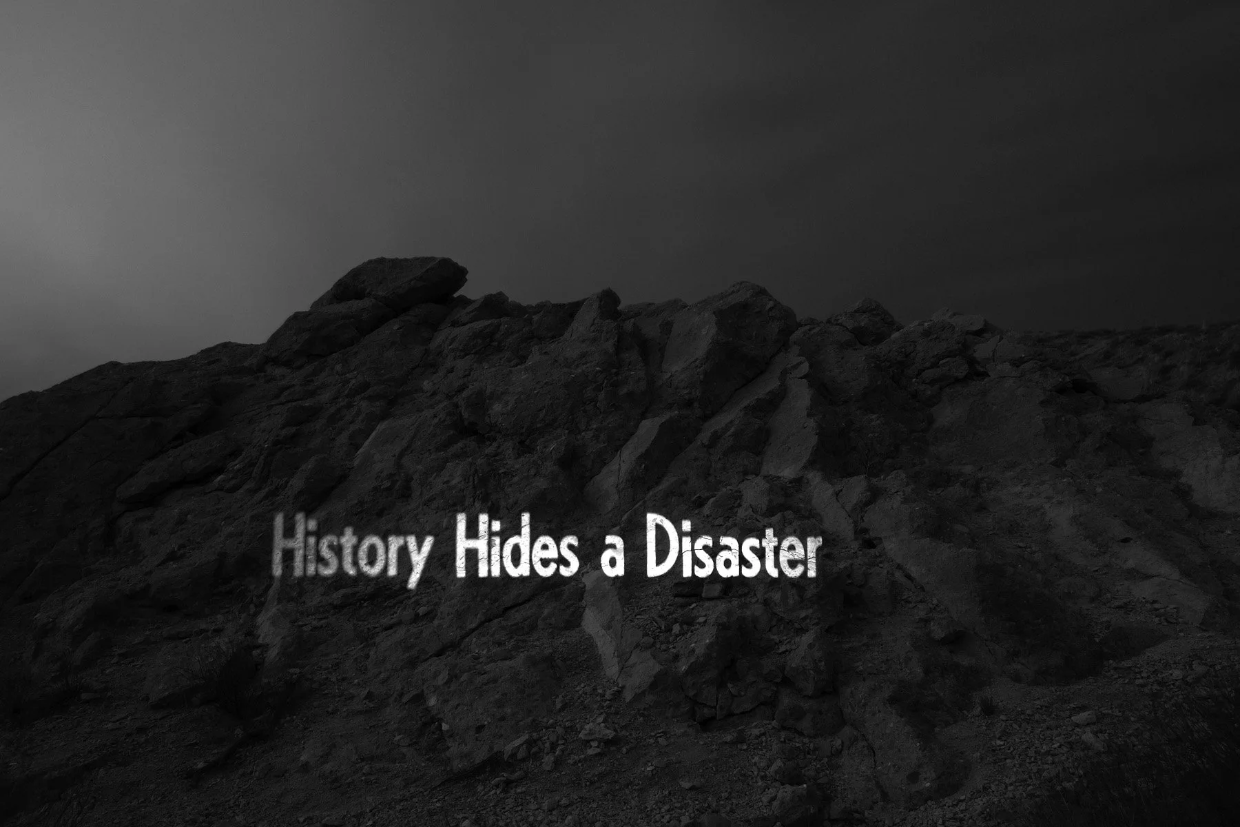
From the 1978 article “History Hides a Disaster” commemorating the 50th anniversary of the St. Francis Dam Disaster (Martha L. Willman, Los Angeles Times). St. Francis Dam ruins, San Francisquito Canyon, 2021.
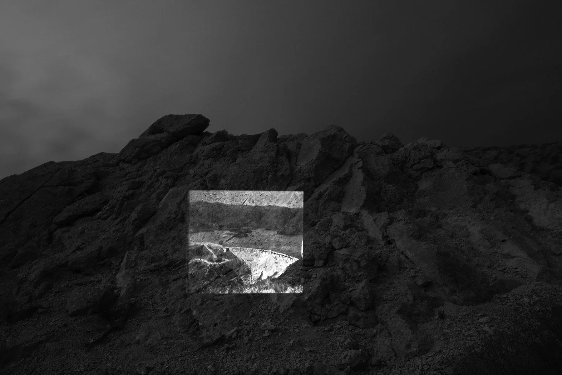
A 1926 photo of the newly built St. Francis Dam, part of the Los Angeles Aqueduct system (George Watson). St. Francis Dam ruins, San Francisquito Canyon, 2021.
Nine Mile Canyon, 2022.
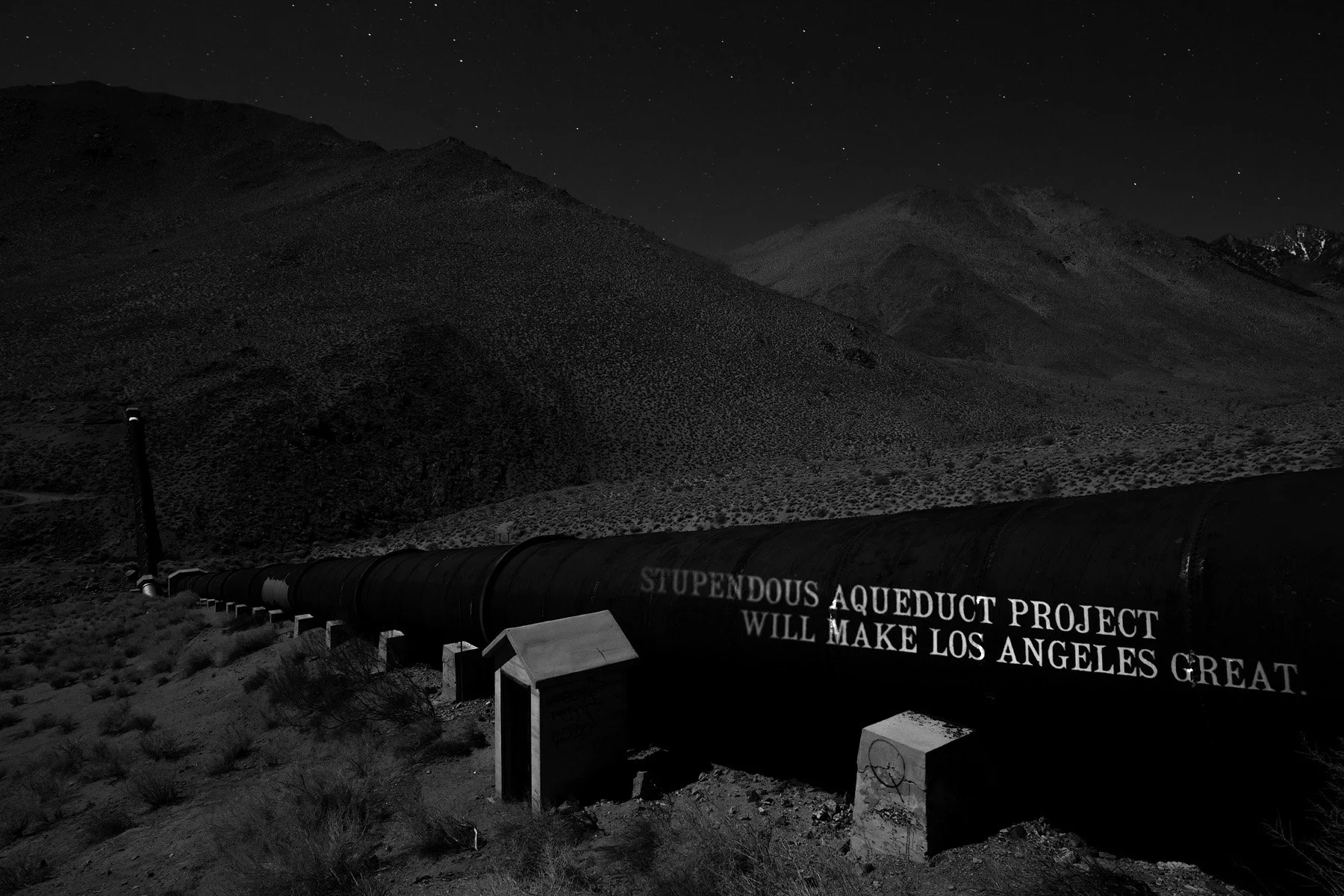
The headline of a 1907 article listing the financial details and engineering features of the proposed Los Angeles Aqueduct (Los Angeles Times). Nine Mile Canyon, 2022.
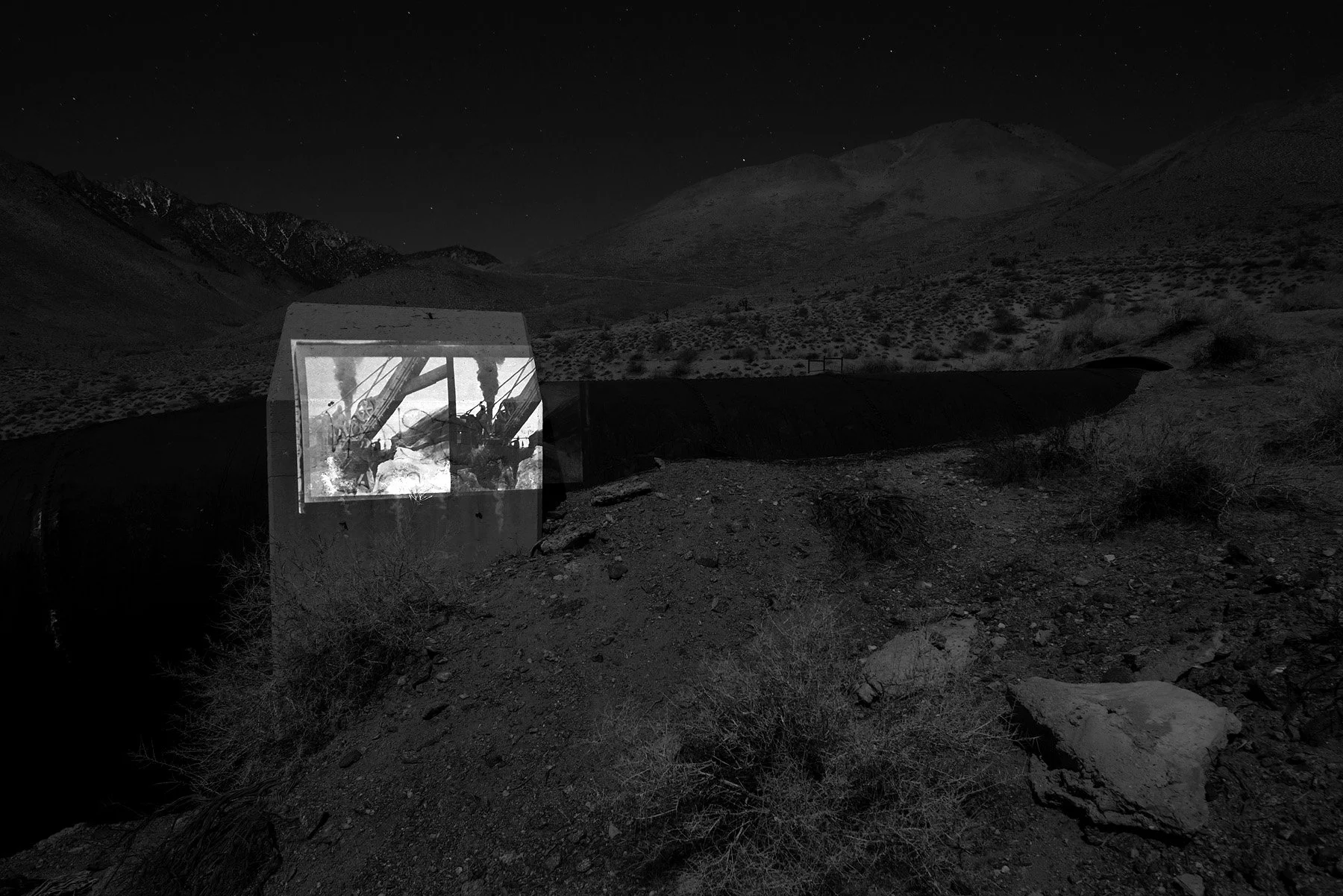
A photo of a trench-digging machine used in the construction of the Los Angeles Aqueduct (Workman-Temple Homestead Museum Collection, University of Southern California). Nine Mile Canyon, 2022.
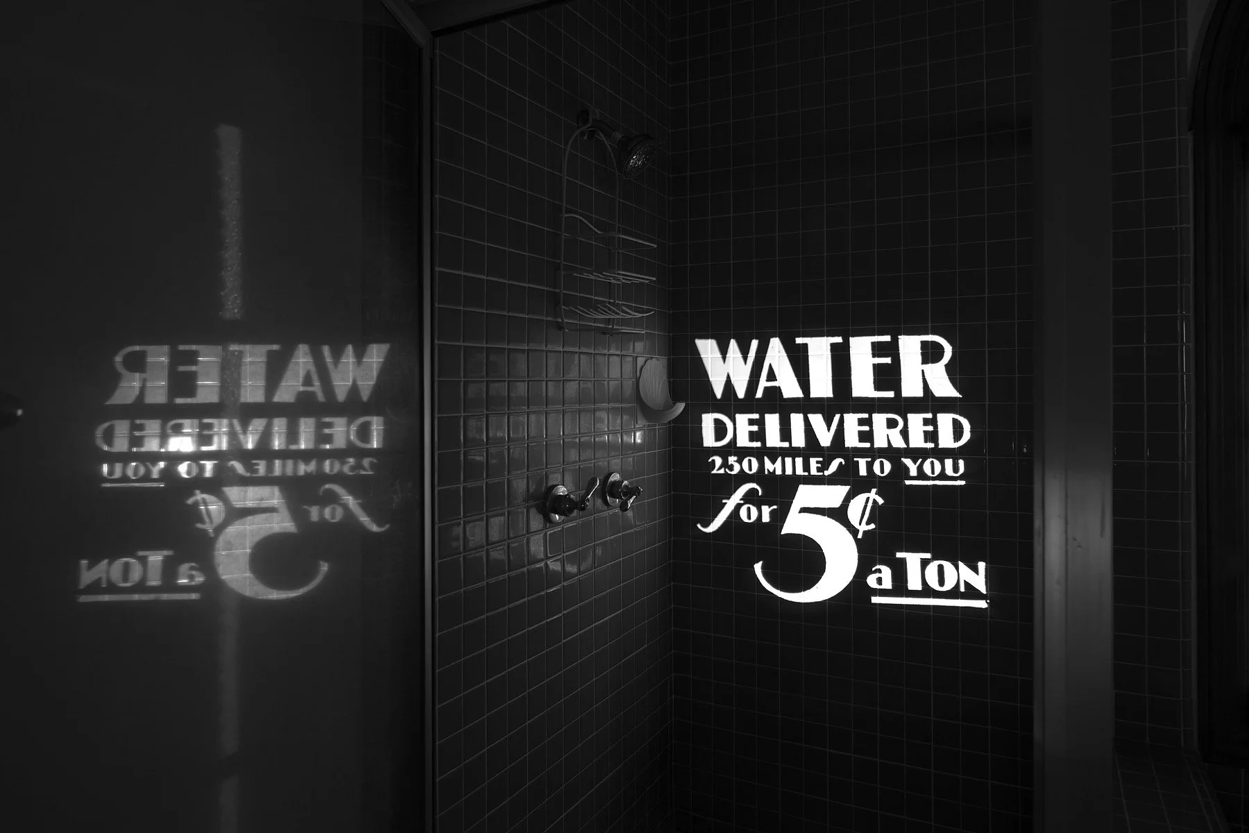
From a 1905 brochure published by the Los Angeles Department of Water and Power (UCLA Library Special Collections). A bathroom in Los Angeles, CA, 2022.
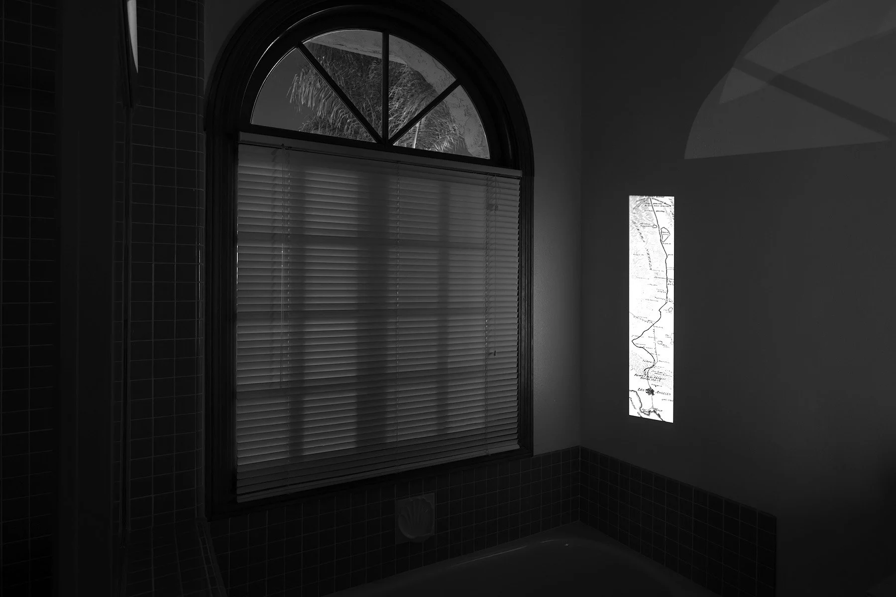
A 1906 map of the first Los Angeles Aqueduct (Los Angeles Herald). A bathroom, Los Angeles, CA, 2022.
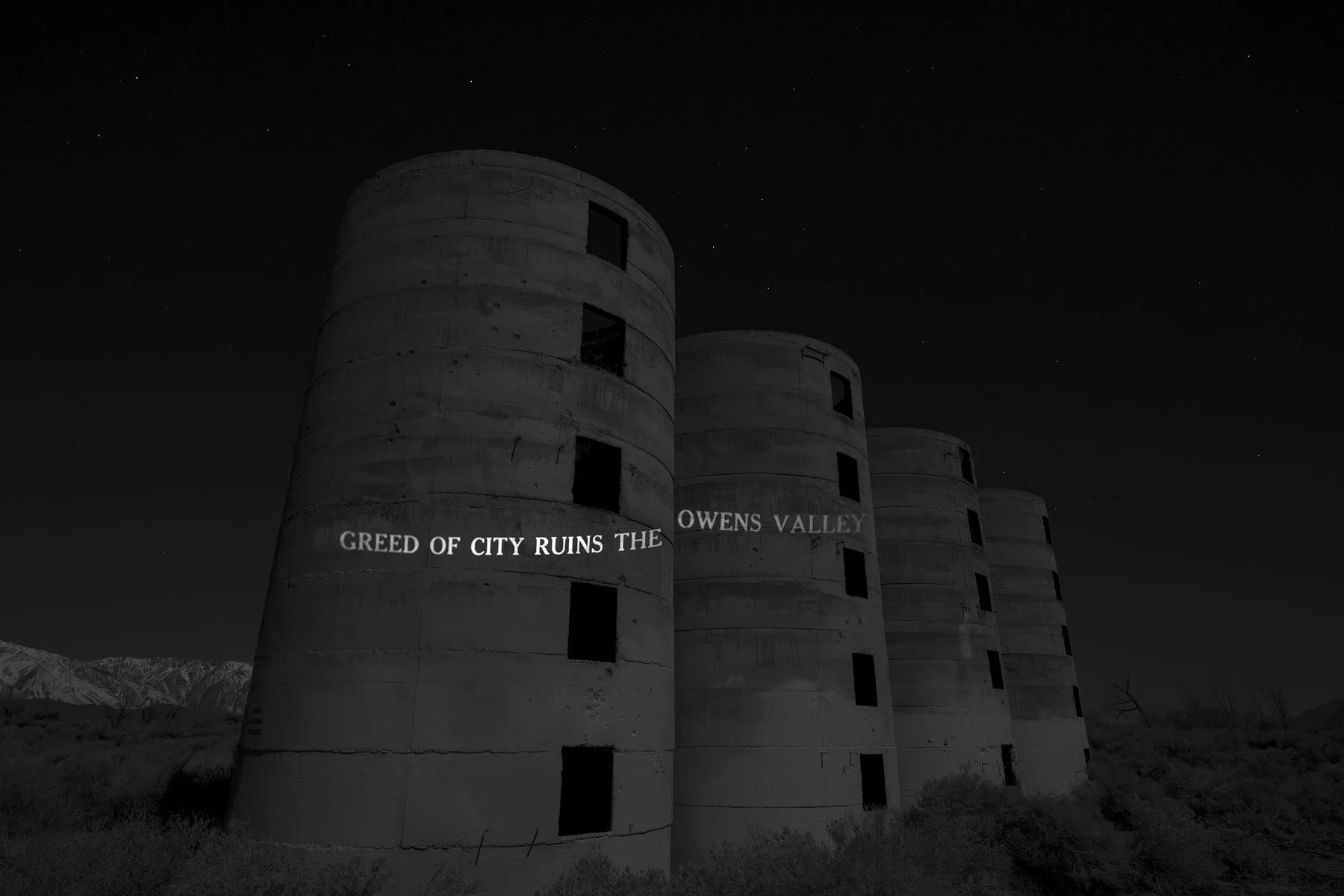
From a 1925 article revealing the decline in the valley’s agriculture and economy as a result of the large-scale purchases of land and the construction of the Los Angeles Aqueduct in the Owens Valley (Inyo Register and Owens Valley Herald). Abandoned grain silos, Poleta, CA, 2022.
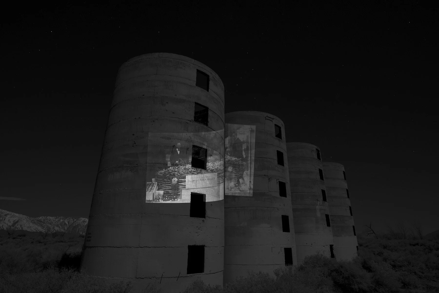
A photo of produce from the Owens River Valley (Rich McCutchan Archives). Abandoned grain silos, Poleta, CA, 2022.
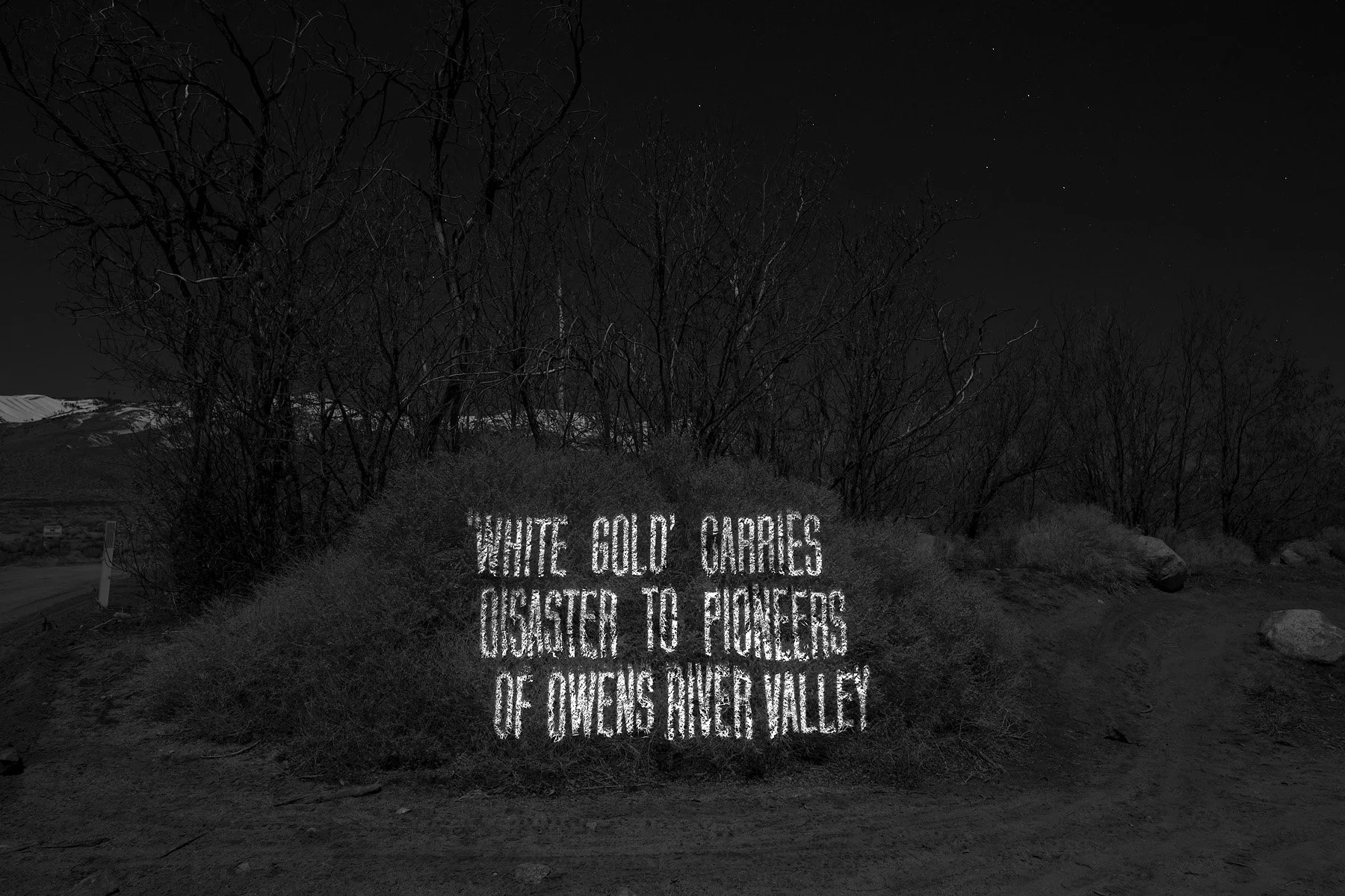
From a 1924 article assessing the value of Owens Valley water in the City of Los Angeles and the financial losses experienced by citizens from Laws, CA. (C. E. Kunze, San Francisco Call). Big Pine, CA, 2022.
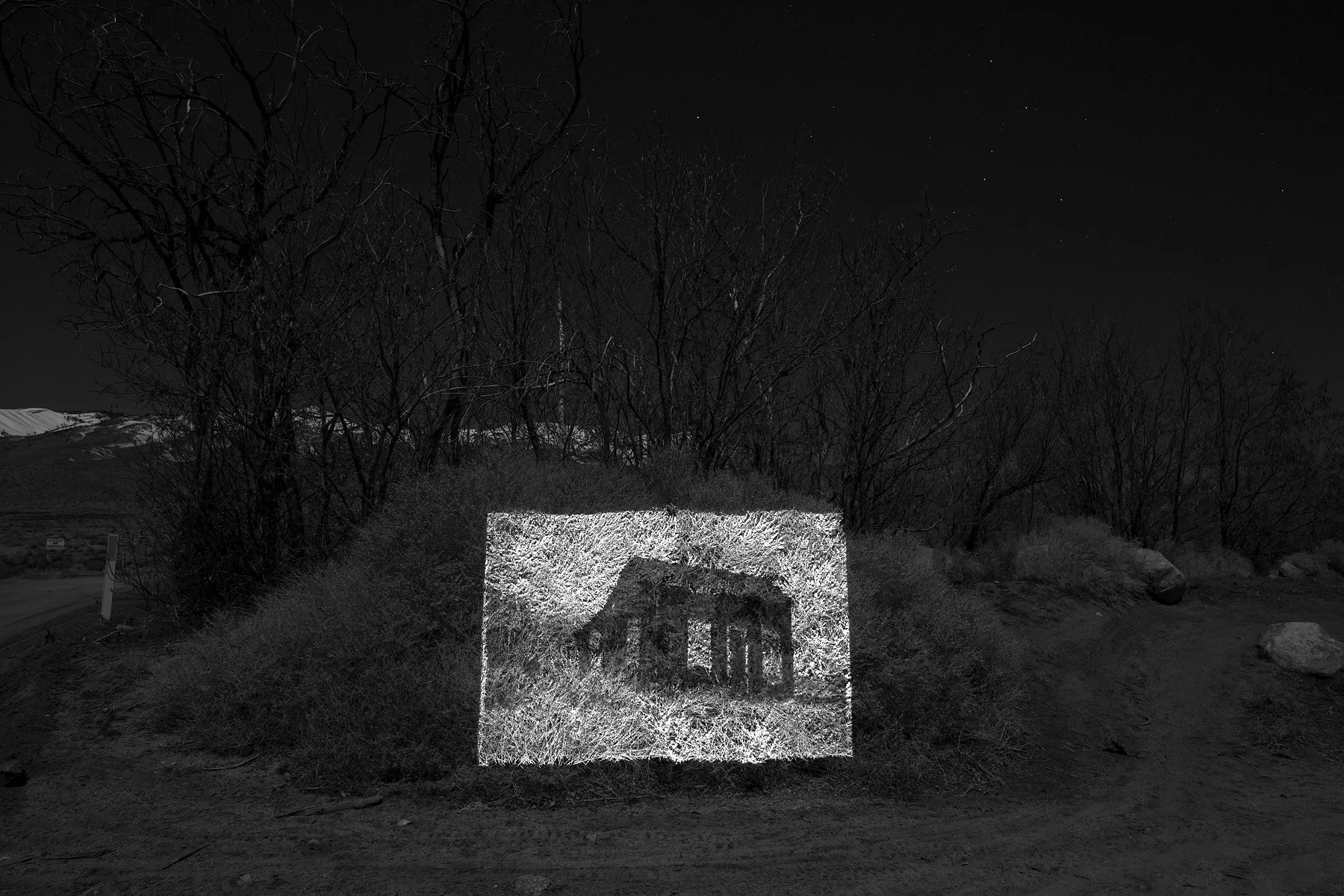
A 1939 photo of the abandoned Sam Meredith farm in Big Pine, CA (Department of Archives and Special Collections, William H. Hannon Library, Loyola Marymount University). Big Pine, CA, 2022.
Jawbone Canyon, 2022.
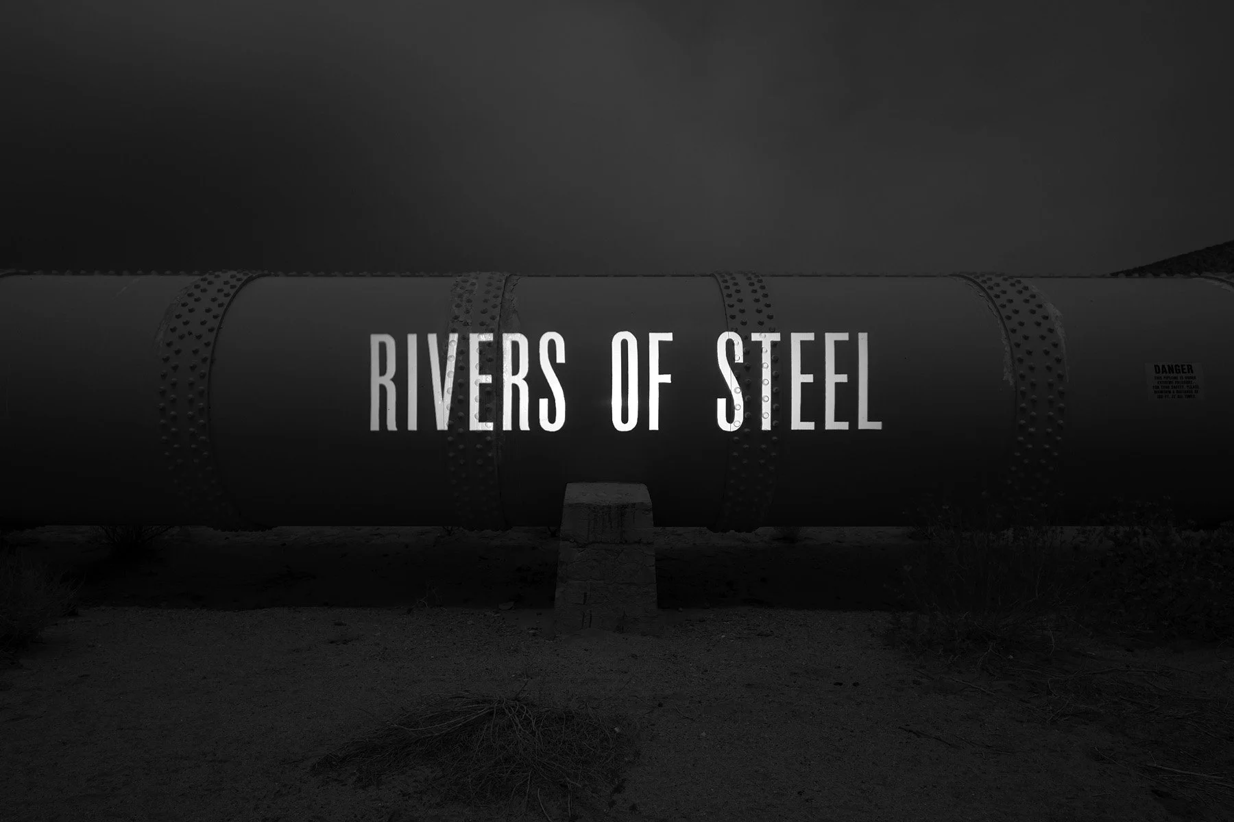
From a 1948 magazine article featuring the construction of the Los Angeles Aqueduct and the Owens Valley protests (Robert E. Ahrens, Travel Magazine). Jawbone Canyon, 2022.
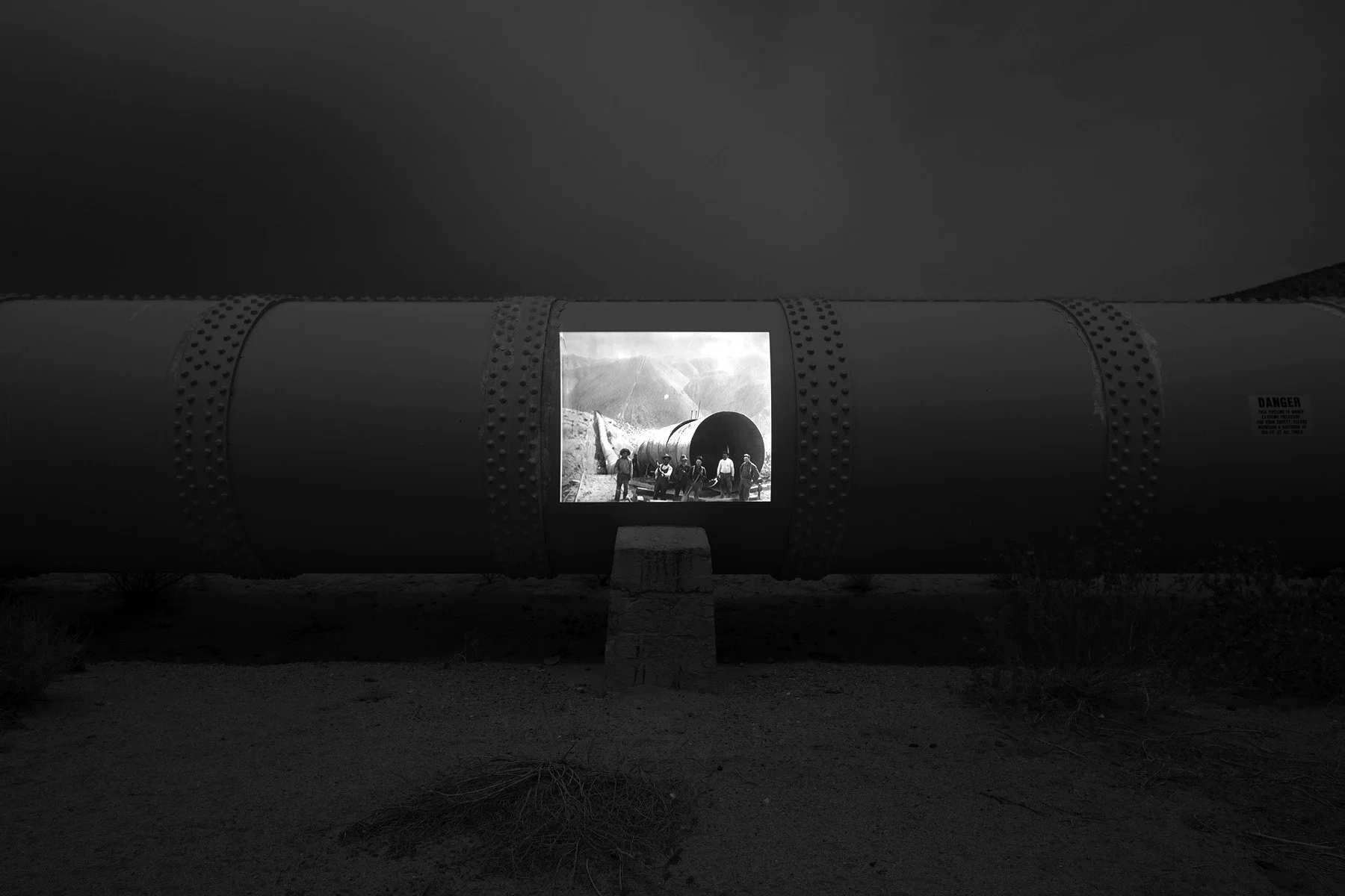
A 1913 photo of Jawbone Siphon under construction (DWP Photo Collection). Jawbone Canyon, 2022.
Jawbone Canyon, 2022.
A 2021 article investigating the Paiute irrigation system in the Owens Valley and the tragic massacre of Native Americans in 1863 during the Owens Valley War (Frederic Wehrey, The New York Review of Books).
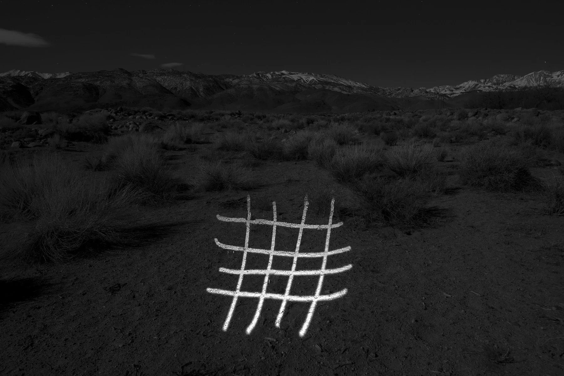
Harry Williams, a Bishop Paiute elder who fought for water rights, always thought this Paiute rock art symbol signified the irrigation ditches (KCET). Approximate location of a Paiute irrigation ditch at Pitana Patü (Julian Steward, 1927), Bishop, CA, 2022.
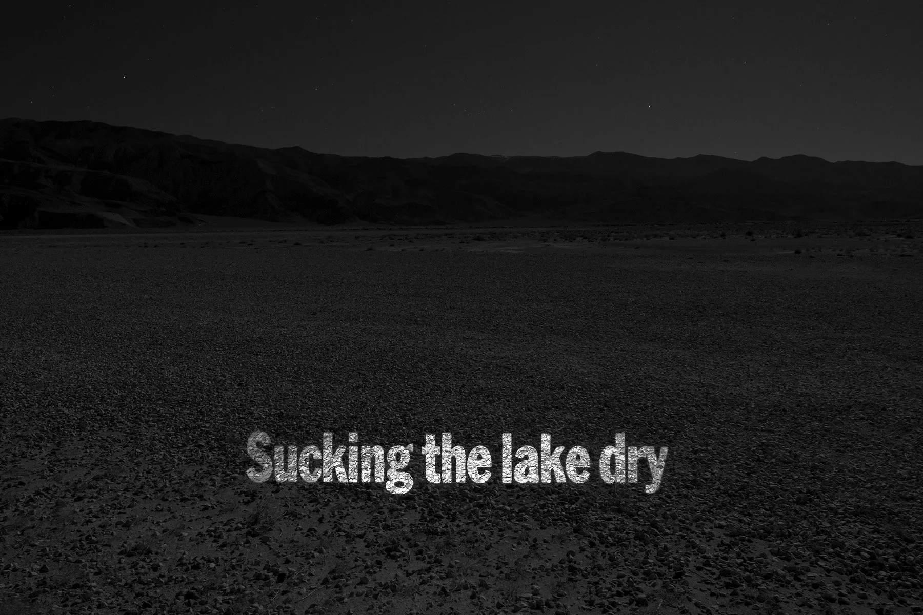
From a 1997 article emphasizing the severe dust problems and ecological damage caused by the Los Angeles Aqueduct at Owens Lake (Chicago Tribune). Owens Lake, 2022.
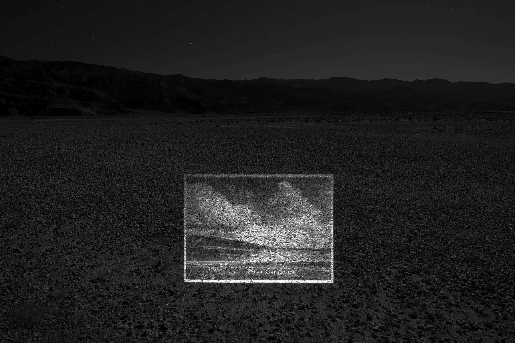
A photo of Owens Lake before it was drained by the city of Los Angeles (Rich McCutchan Archives). Owens Lake, 2022.
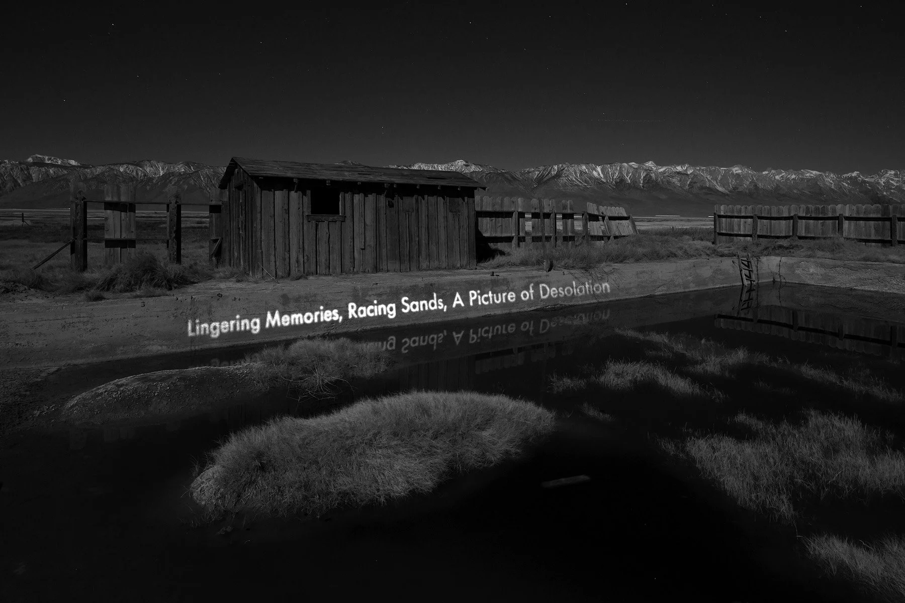
From a 1956 article documenting a trip to the Cerro Gordo Mines near Keeler, CA and the surrounding desert (Karl R. Jorgensen, Santa Ynez Valley News). Keeler Swimming Pool, 2022.
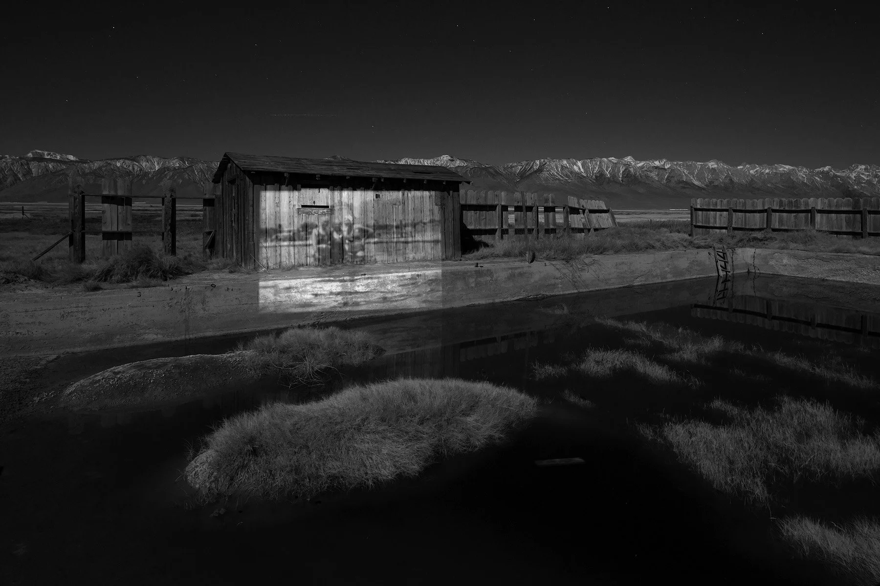
A photo of swimmers in Keeler swimming pool (courtesy Susan Frazee-Kurner). Keeler Swimming Pool, 2022.
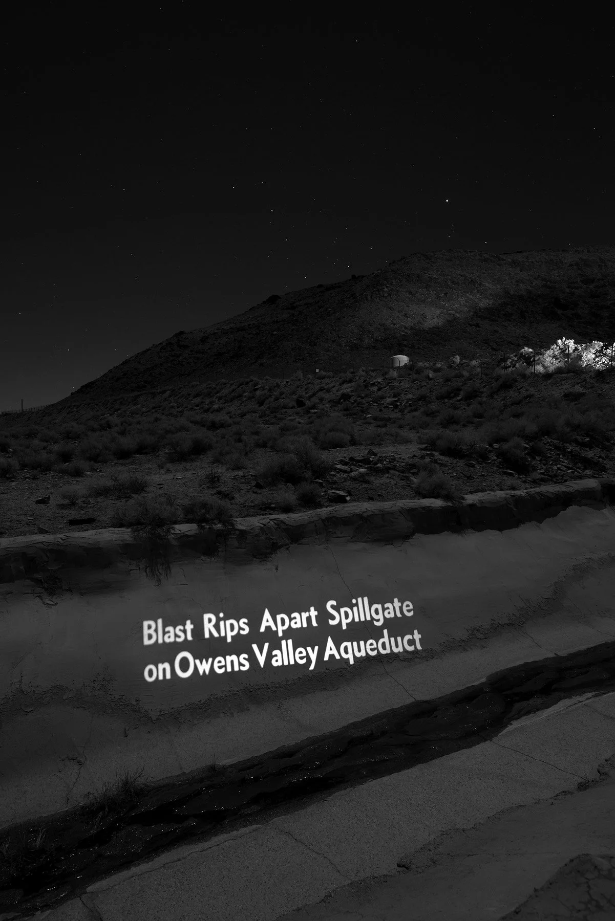
From a 1976 article reporting the bombing of Alabama Gates by 17-year-old Mark Berry and his friend Robert Howe (Michael Seiler & Jack Jones, Los Angeles Times). Alabama Spillway & Gates, Lone Pine, CA, 2022.
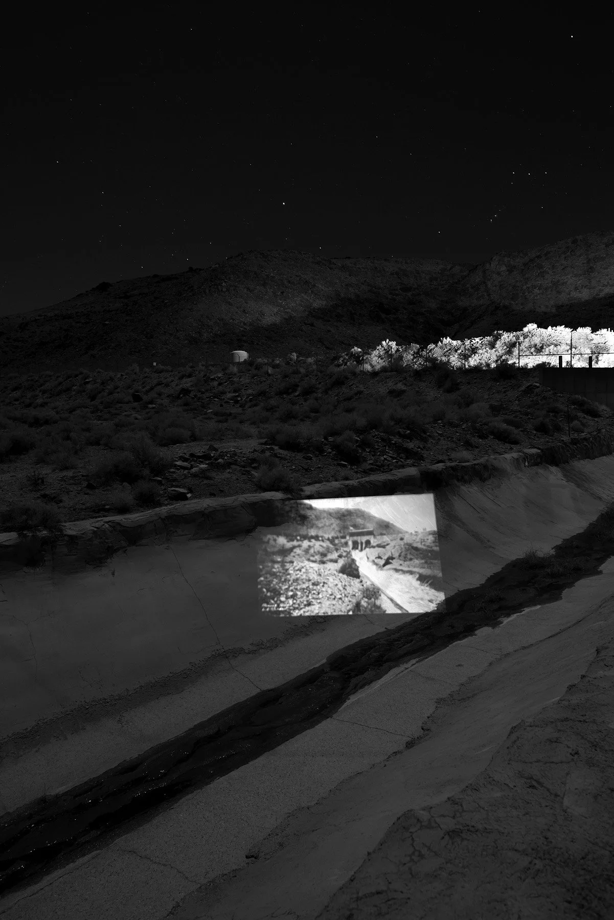
A 1924 photo of Owens Valley ranchers releasing water from Alabama Gates into the dry Owens River bed during a protest (Department of Archives and Special Collections, William H. Hannon Library, Loyola Marymount University). Alabama Spillway & Gates, Lone Pine, CA, 2022.
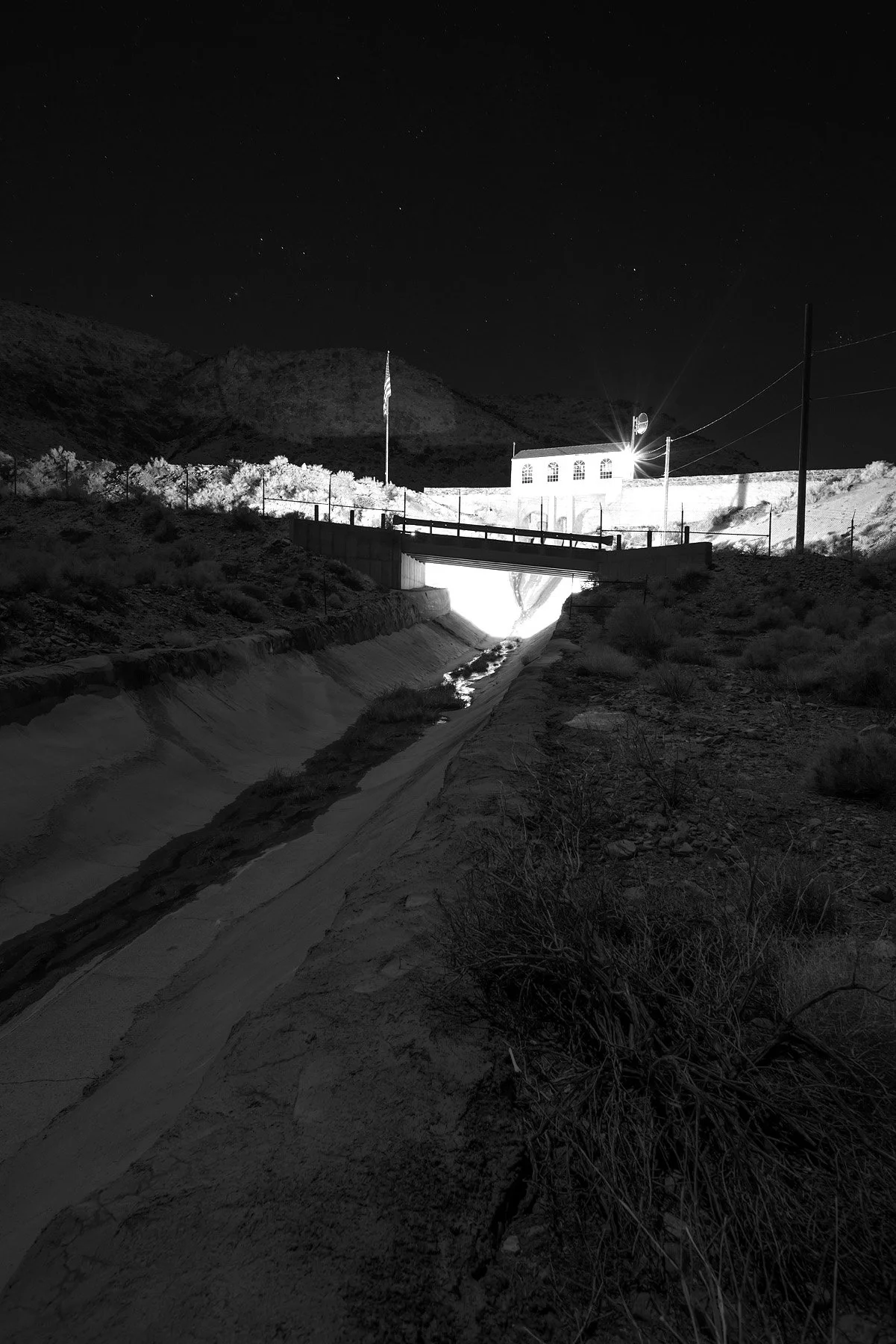
Alabama Spillway & Gates, Lone Pine, CA, 2022.
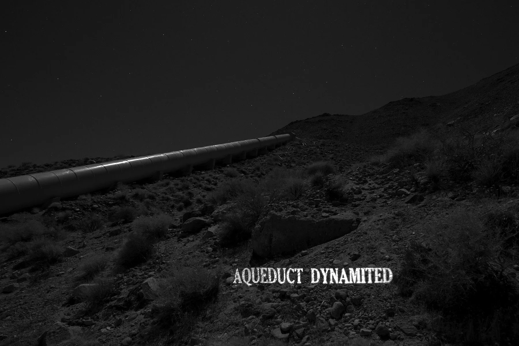
From a 1927 article compiling a series of conflicts between Owens Valley residents and Los Angeles, including the repeated dynamiting of the Aqueduct (The Gridiron). Noname Canyon, 2022.
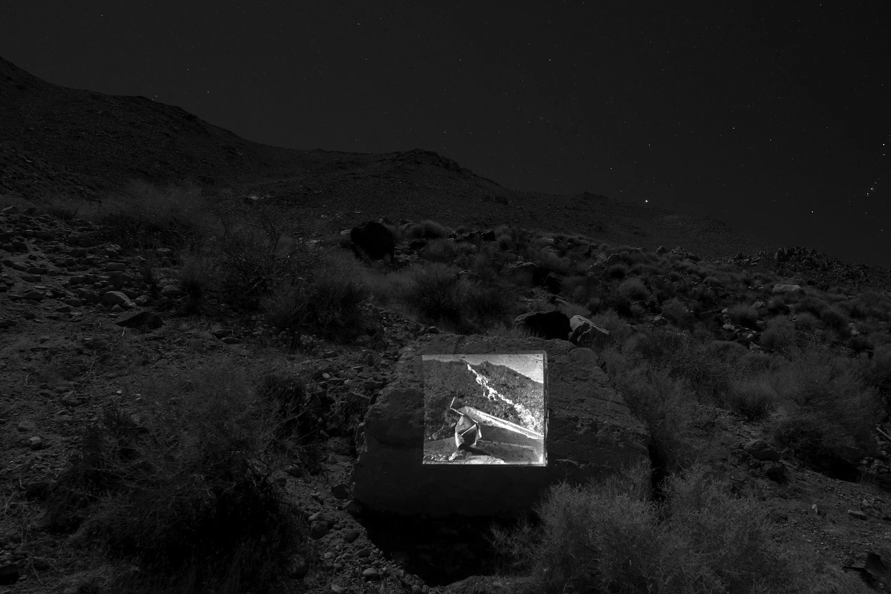
A 1927 photo of the blast-damaged Los Angeles Aqueduct siphon in No-Name Canyon (Los Angeles Times Photographic Collection, UCLA Library Special Collections). Noname Canyon, 2022.
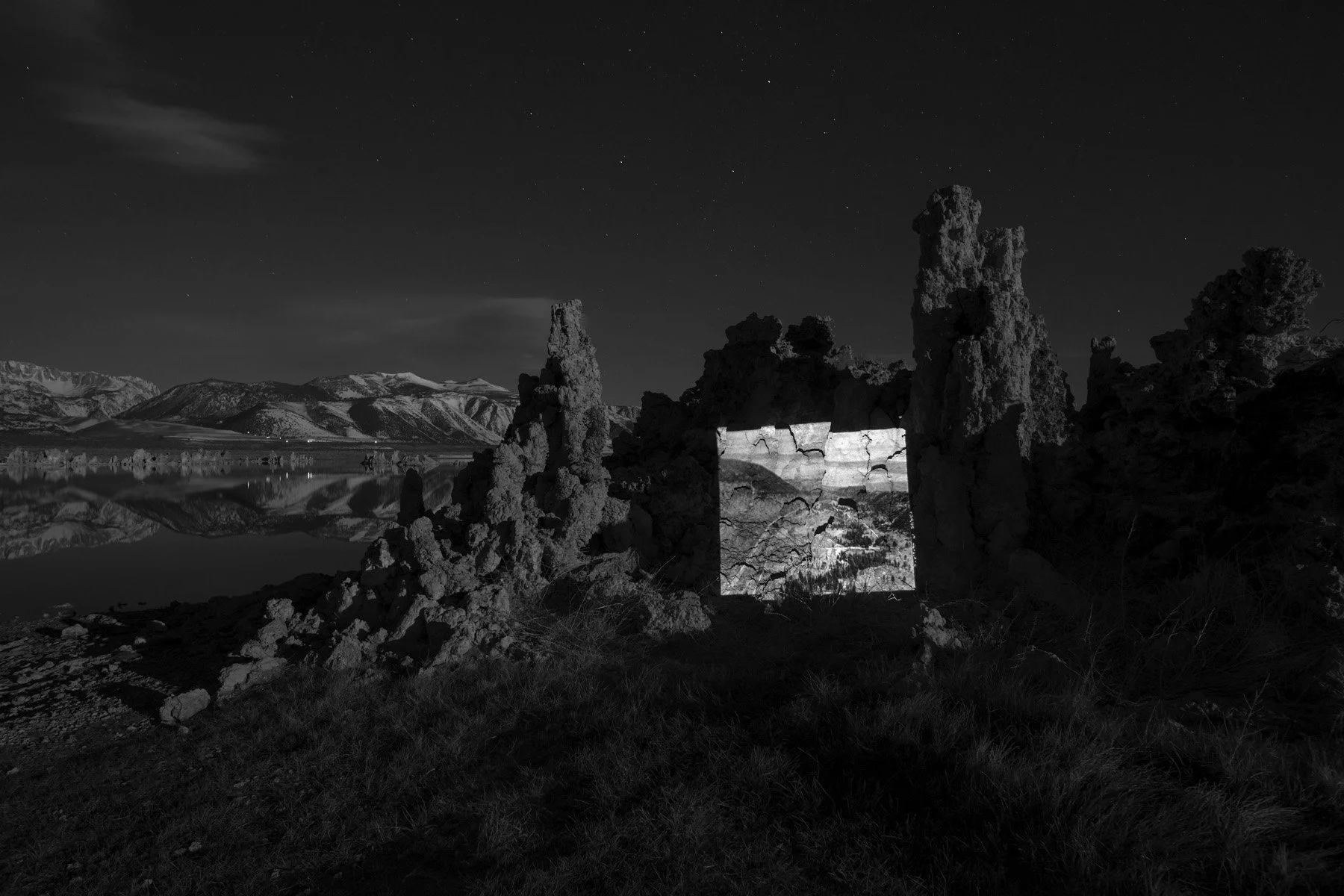
The aerial view of Lee Vining Intake and Mono lake (Historic American Engineering Record, Library of Congress). Mono Lake, 2022.
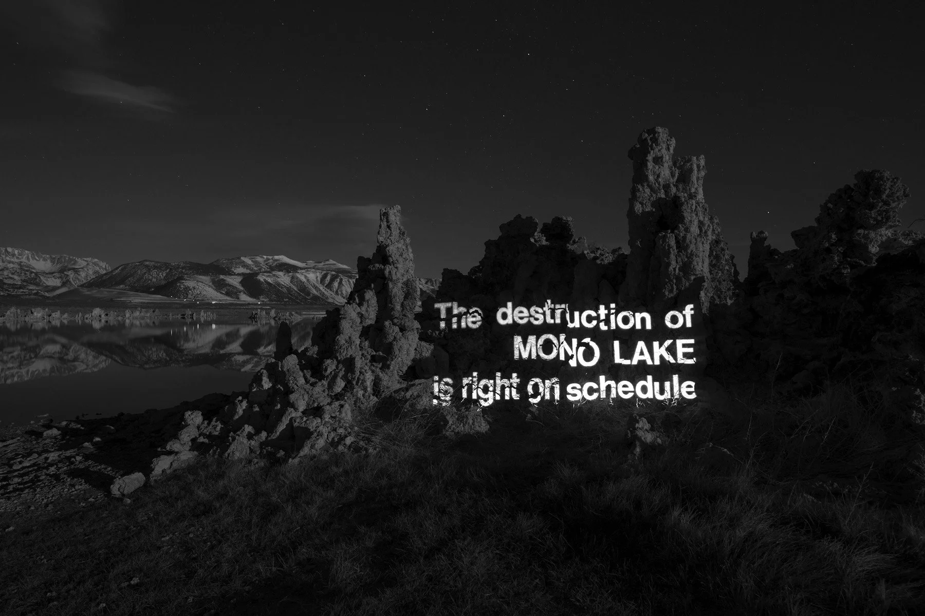
From a newspaper insert raising awareness of Mono Lake’s environmental condition as a result of water diversion towards the Los Angeles Aqueduct (Special Collections, The Claremont Colleges Library). Mono Lake, 2022.
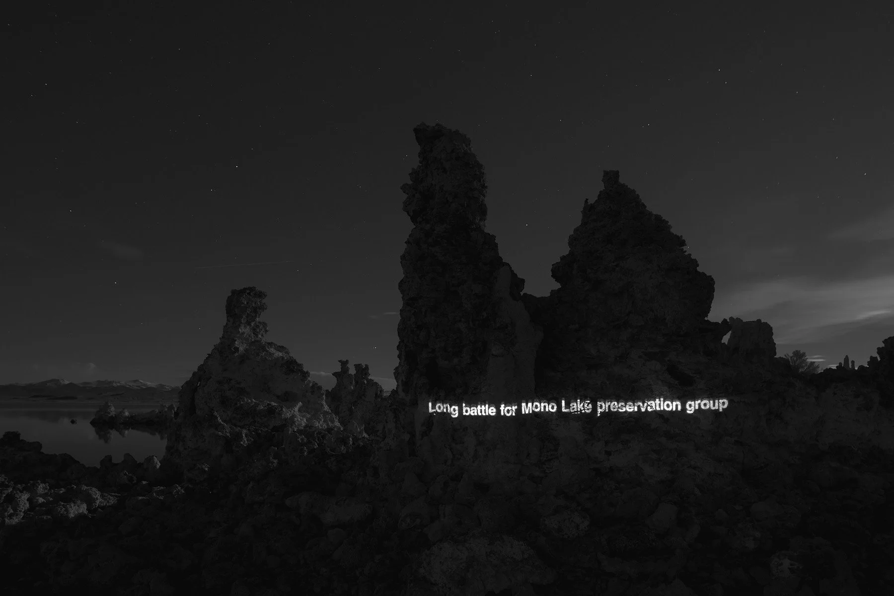
From a 1985 article outlining the history of the Mono Lake Committee and its lawsuit against the Los Angeles Department of Water and Power in violation of the public trust doctrine (Karen Smith, Reno Gazette-Journal). Mono Lake, 2022.
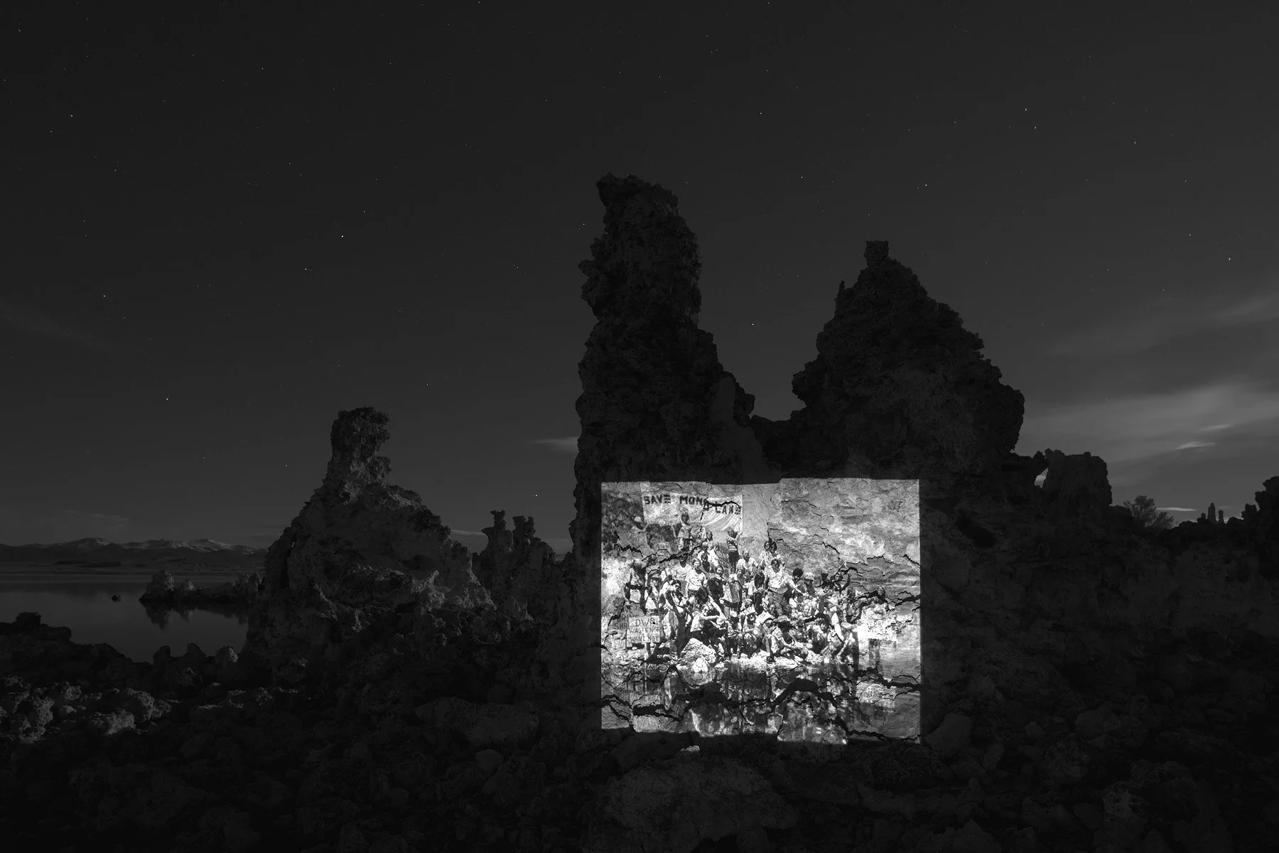
A 1982 photo of activists carrying water to Mono Lake from its tributary streams in the Rehydration Ceremony (Stephen Johnson & Mono Lake Committee). Mono Lake, 2022.
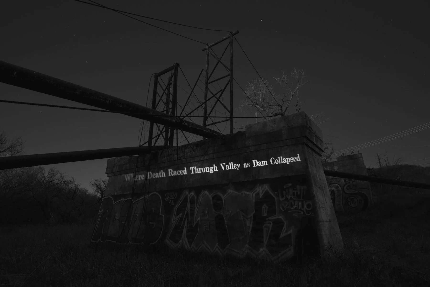
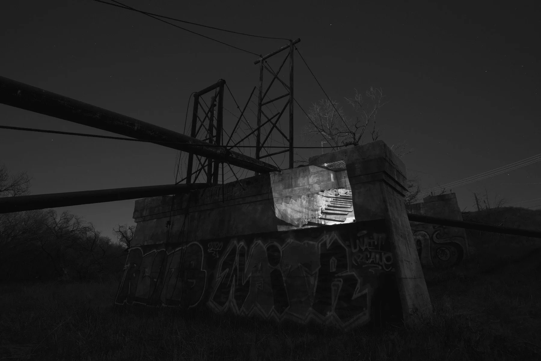
From a 1928 article illustrating the flooded area of the St. Francis Dam Disaster. The main highway bridge at Castaic Junction was destroyed by the flood on March 12, 1928 (San Francisco Examiner). Castaic Junction Bridge, Santa Clarita, CA, 2022.
A 1928 photo of an emergency morgue in Newhall, CA with bodies of victims of the flood (Los Angeles Times Photographic Collection, UCLA Library Special Collections). Castaic Junction Bridge, Santa Clarita, CA, 2022.
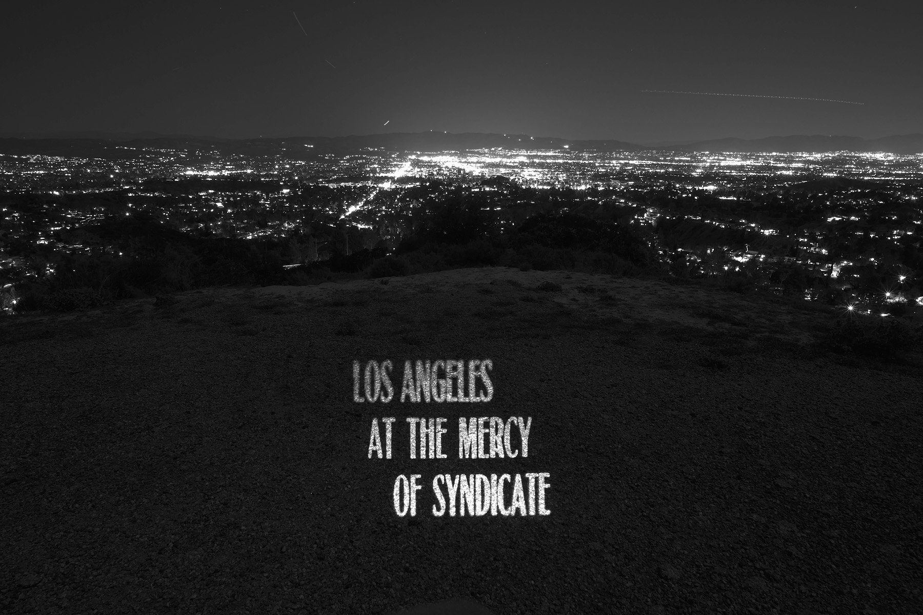
From a 1909 article exposing the San Fernando land syndicate, which bought strategic parcels of land in San Fernando Valley allegedly based on insider information that the Los Angeles Aqueduct would soon irrigate the valley and increase land value (The San Francisco Call). San Fernando Valley, 2022.
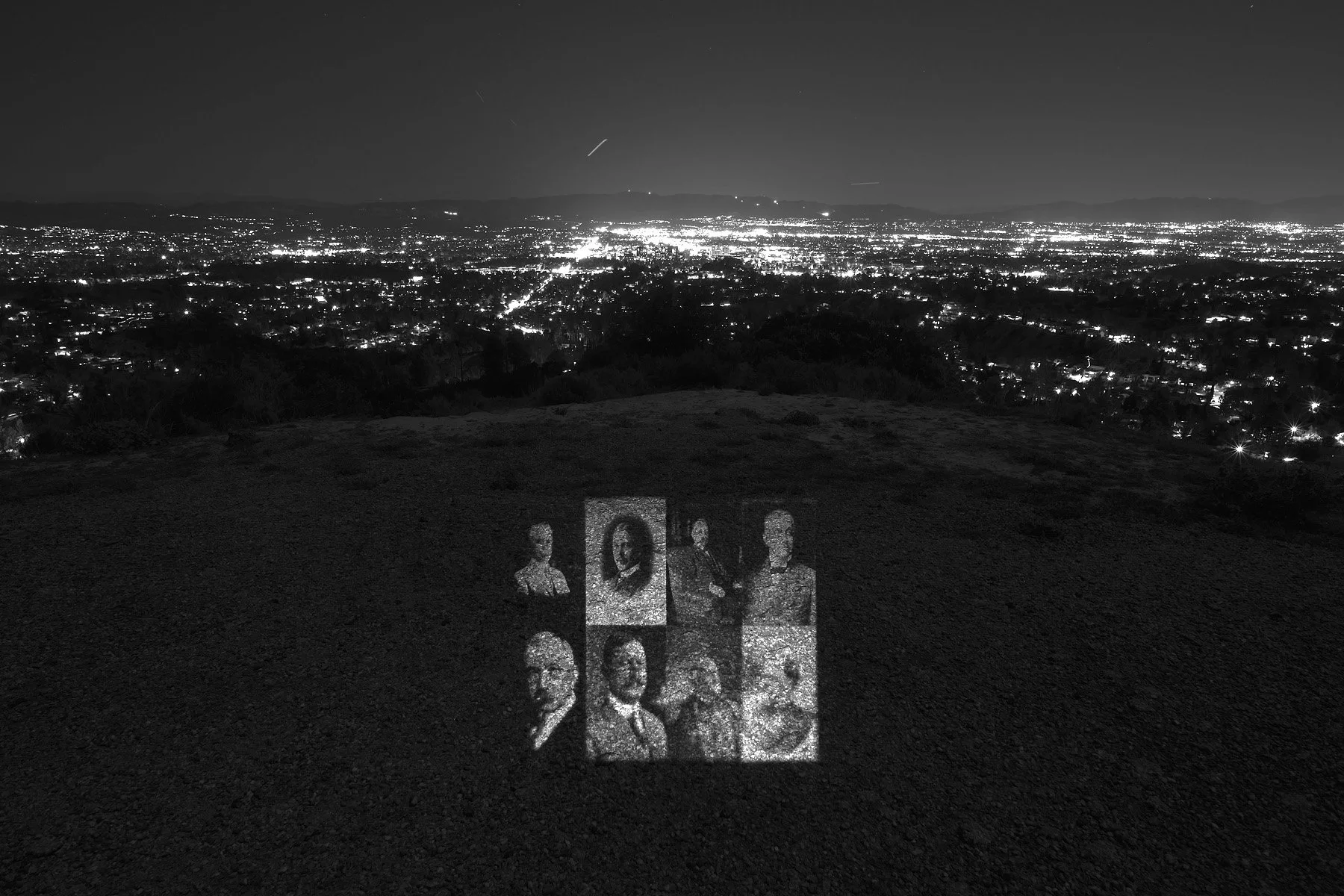
Portraits of the founding members of the San Fernando land syndicate—Leslie Carlton Brand, Edwin T. Earl, E. H. Harriman, Henry Huntington, Joseph Satori, William G. Kerckhoff, Harrison Gray Otis, and George K. Porter (Glendale Public Library; Huntington Digital Library; Library of Congress; Monrovia Public Library; The Bancroft Library, UC Berkeley; USC Digital Library). San Fernando Valley, 2022.
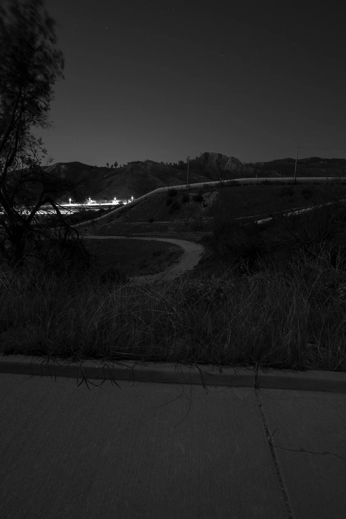
The Cascades, Sylmar, CA, 2022.
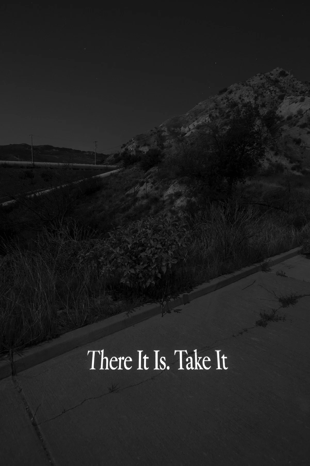
On November 5, 1913, 40,000 people gathered at the Cascades for the opening ceremonies of the Los Angeles Aqueduct. As the water started flowing, William Mulholland shouted, “There it is. Take it.” (LAWDP). The Cascades, Sylmar, CA, 2022.
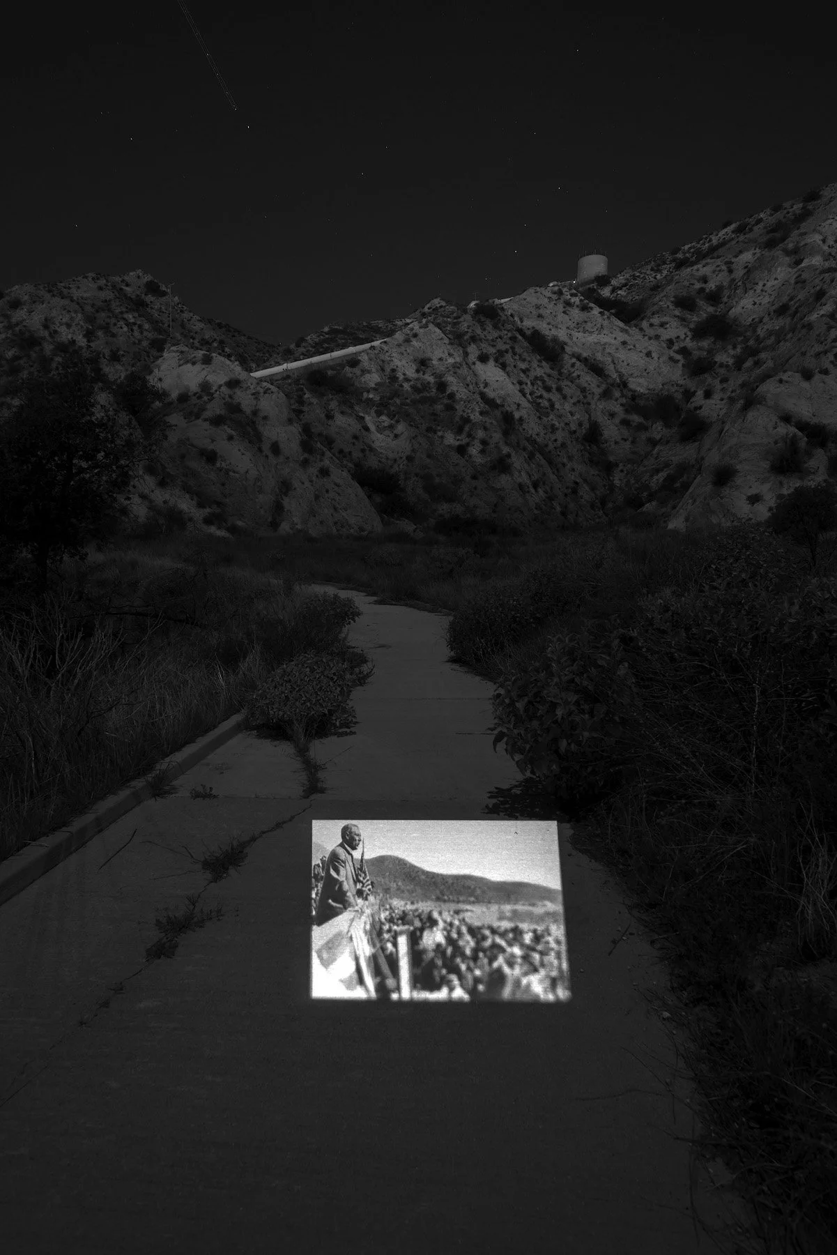
A 1913 photo of William Mulholland speaking at the opening ceremonies of the Aqueduct (Los Angeles Times). The Cascades, Sylmar, CA, 2022.
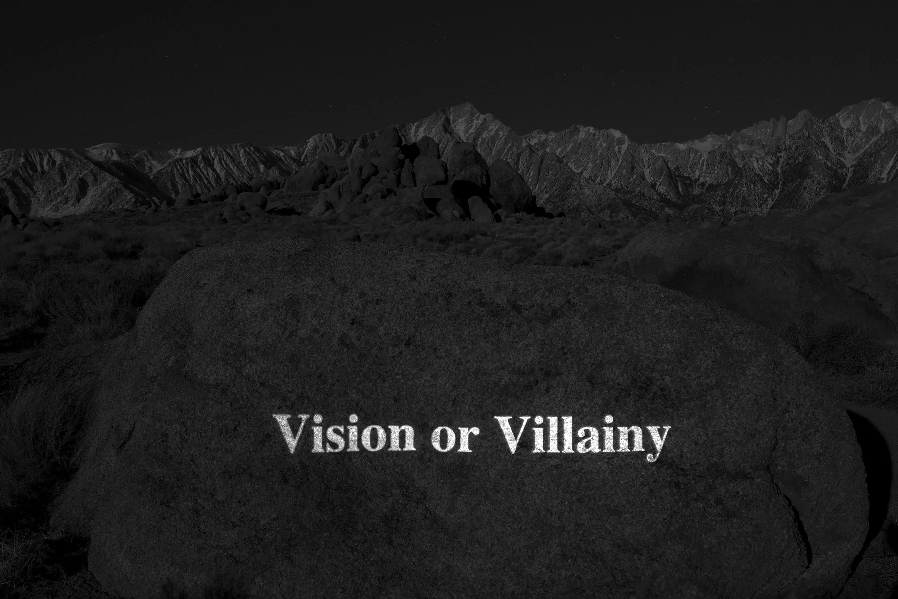
The title of a 1981 book describing the historical controversy between Owens Valley residents and Los Angeles government officials over the Los Angeles Aqueduct (Abraham Hoffman, Texas A&M; University Press). Lone Pine, CA, 2022.
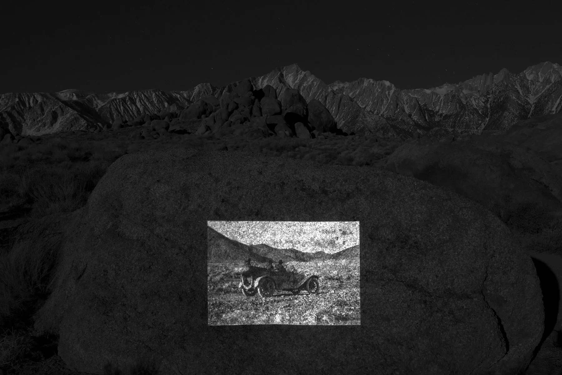
A 1904 photo of William Mulholland along with two others looking toward the snow-covered Eastern Sierras, the water source of the yet-to-be-built Los Angeles Aqueduct (DWP Photo Collection). Lone Pine, CA, 2022.
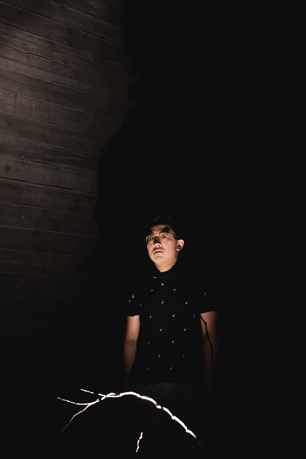
Beihua Guo (b. 1998) is a Chinese artist based in Los Angeles and Shanghai. He received a BA in studio art and environmental analysis from Pitzer College, California. His photographic and installation work explores human’s fragile relationship with nature, as well as the vanishing boundary between the natural and the built environment.